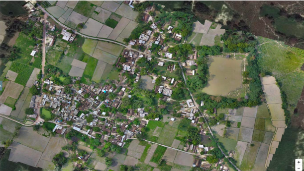
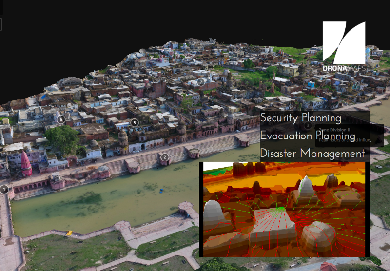
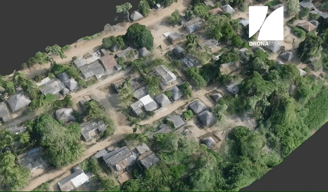
Raw data at scale to insights
Maps make places on the edges of imagination graspable and placable. As drones become a popular tool for inexpensive data collection,
there is a greater need for solutions like ours that can digest this data and create useful information from them. We empower decision makers
with robust insights using a combination of legacy geospatial approaches made more effective with deep learning. Our comprehensive solutions
make mapping scalable, accurate, and accessible.
.png)
1.png)
1.png)