Fly drone and make maps the easy way
Know the best way to collect your data from flight plans to control points

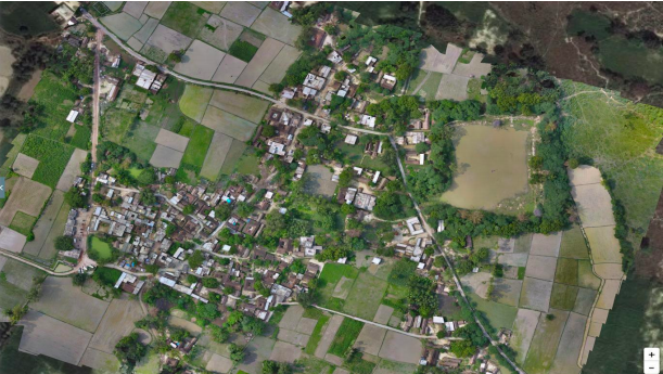
Drone specific flight plans for your area of interest

GCP ready maps optimized for accurate results

Inexpensive, fast and easy to make.
The success of a drone operation is, to a very large extent, dependent on pre-flight planning.
DroneMaps flight recommendation engine takes into account multiple parameters and provides the optimum flight path and flying height for the campaign. The parameters taken into account are: type of drone, elevation profile of the terrain, output requirements and the accessibility of the takeoff and landing points. This engine allows you to plan the whole flight mission by selecting and defining important parameters required for a successful campaign. Gaining a better understanding of these parameters will help you make the best decisions.
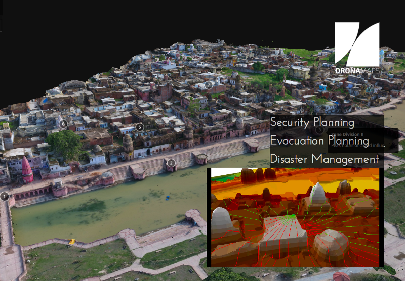
To ensure that the map outputs are accurate as per the requirement of the project, Ground Control Points (GCPs) need to be planned before the drone deployments begin. GCPs are large marked targets on the ground, spaced strategically throughout your area of interest. The coordinates of these GCPs are taken with the help of a DGPS machine. The GCP's and their coordinates are then used to help drone mapping software accurately position your map in relation to the real world around it.
DroneMaps provides GCP recommendation engine for accurate mapping by considering multiple factors like output requirements (accuracy), terrain elevation, post processing capabilities, and the distribution of GCPs across the area of interest for maximum accuracy.
.png)
1.png)
1.png)